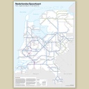

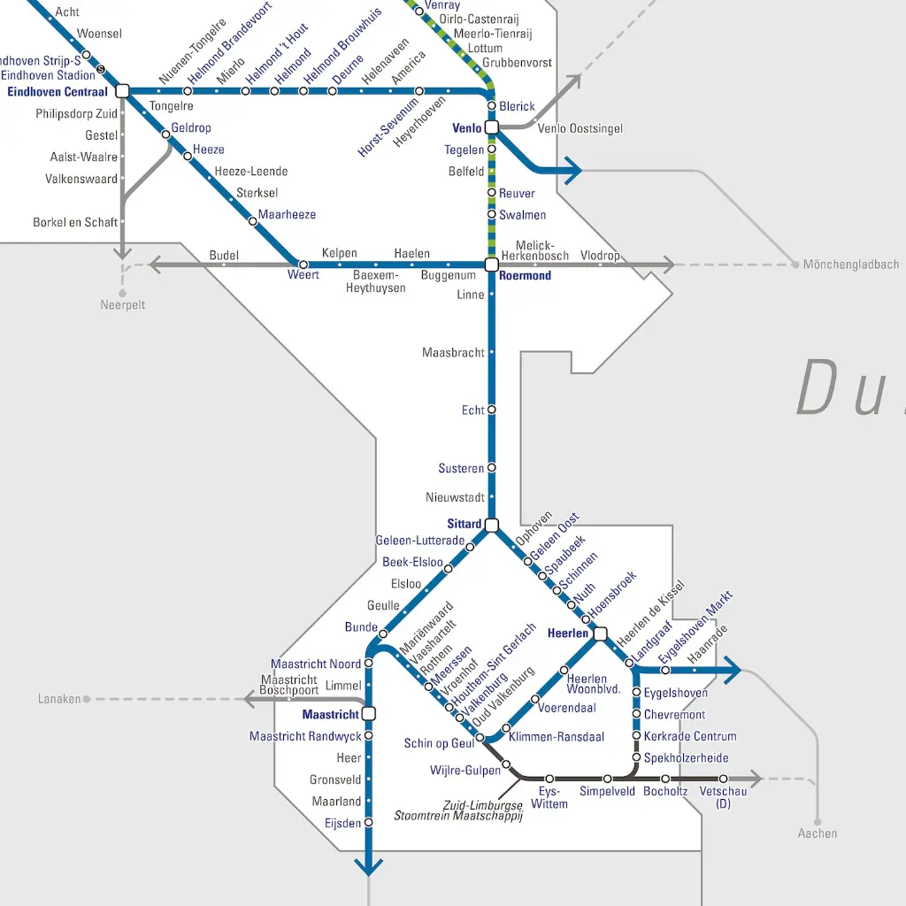
Dutch Railway Map 5th Edition
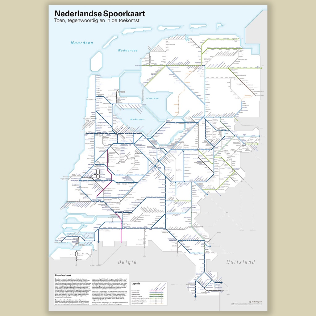
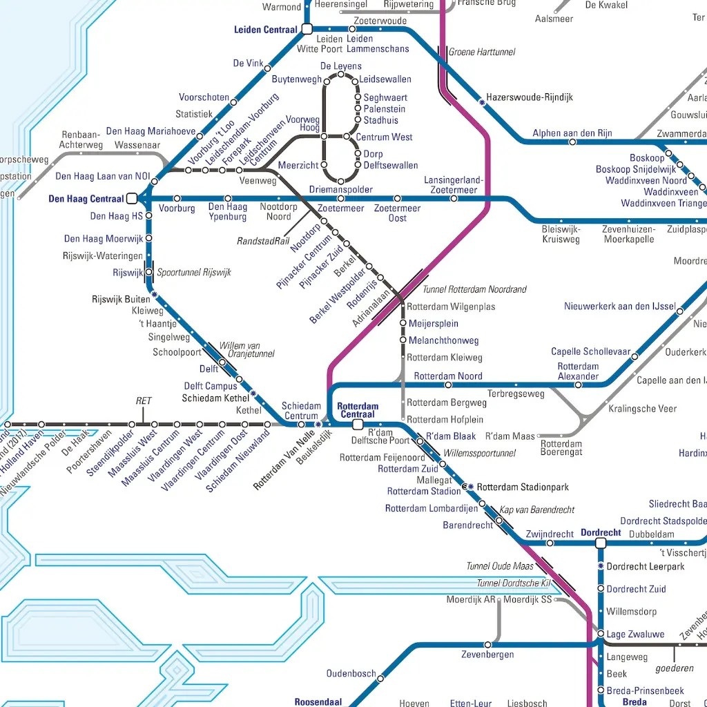
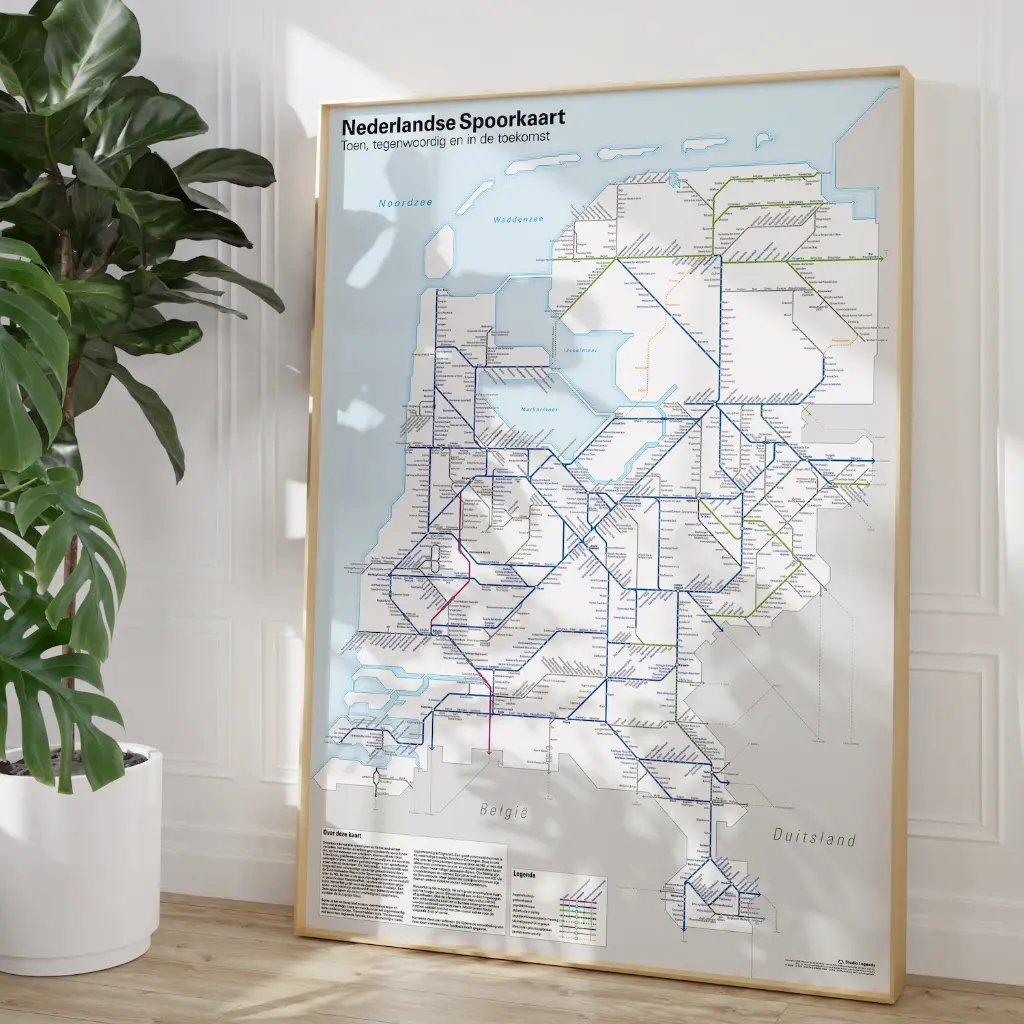
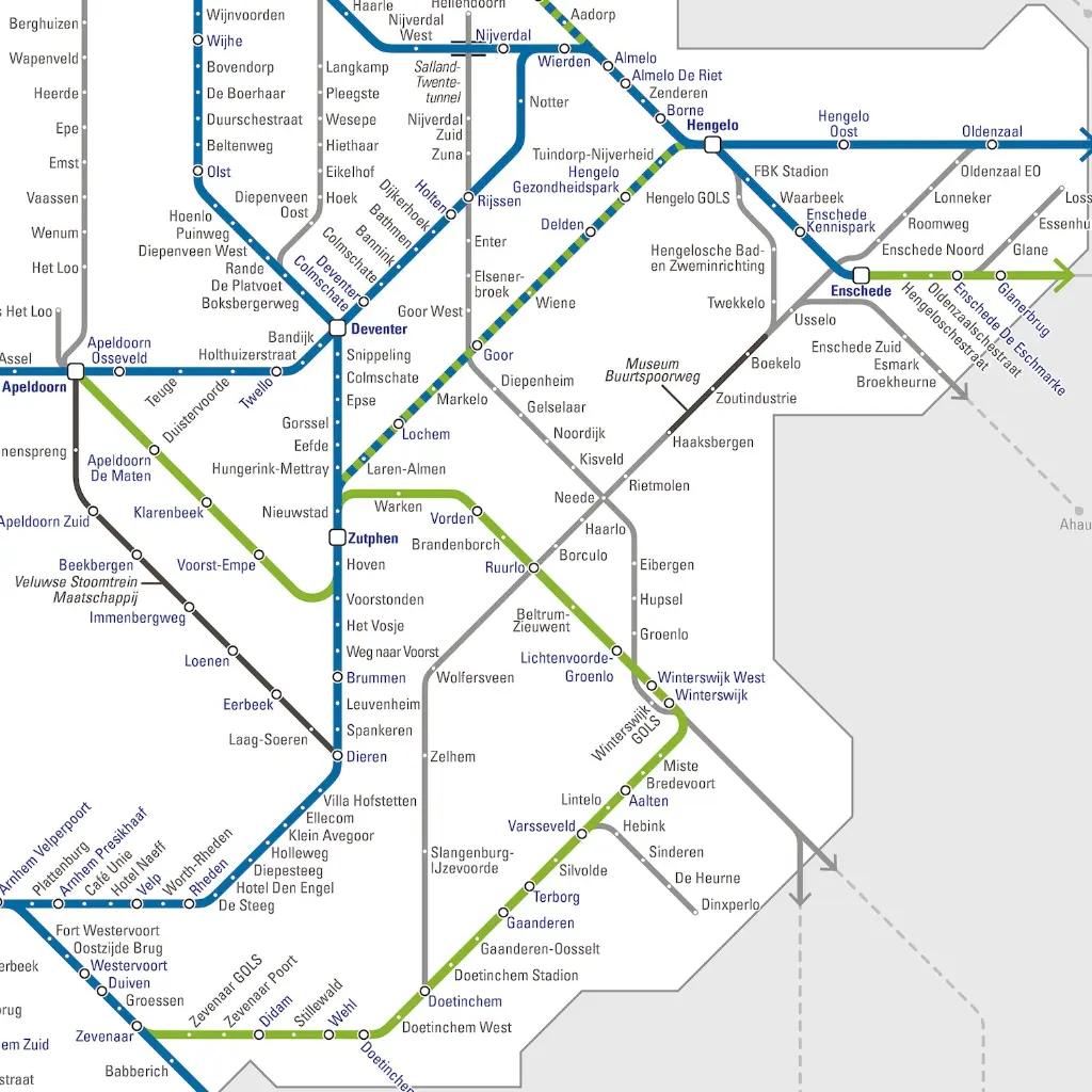
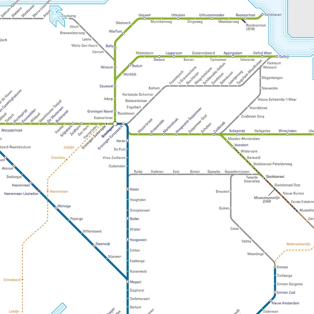
This is the fifth edition of the complete Dutch rail network, including railway lines from the past and planned and projected ones from the future.
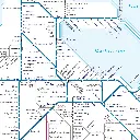
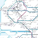
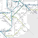
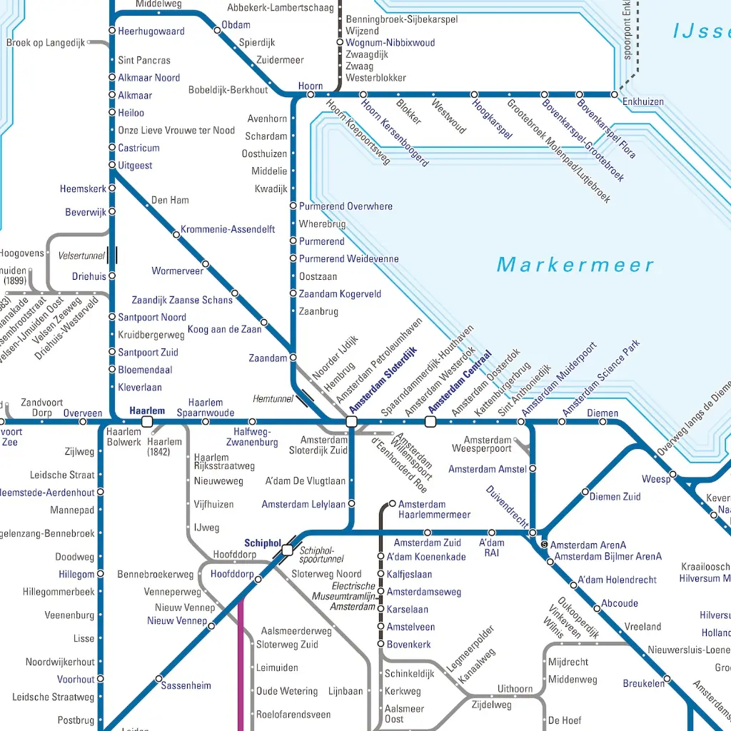
It displays lines wether they are electrified (dark blue), unelectrified (green), high speed (purple), planned (dashed), projected (dashed orange), no longer in use by train passenger services (dark grey) or no longer in use or removed (light grey).
International connections are also displayed with lines being full (still active) or dashed (gone). As well as all the stations from the past and present (and a few planned ones).
This version is updated with fixes and changes. For instance, it adds a few new planned train stations on the line between The Hague and Dordrecht.
It was a monumentous task and raised plenty of discussions. Some stations have moved over the years, for instance, however if the name remained the same as well as the line the stations is on, they won't appear twice (that wouldn't make much sense on a schematic map, unless they were physically on a different line, of which there are a handful of examples).
-
Language
-
Printed
-
Printing method
-
Country
-
Continent
-
Brand