Rail Map Rotterdam
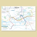
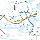
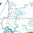
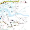
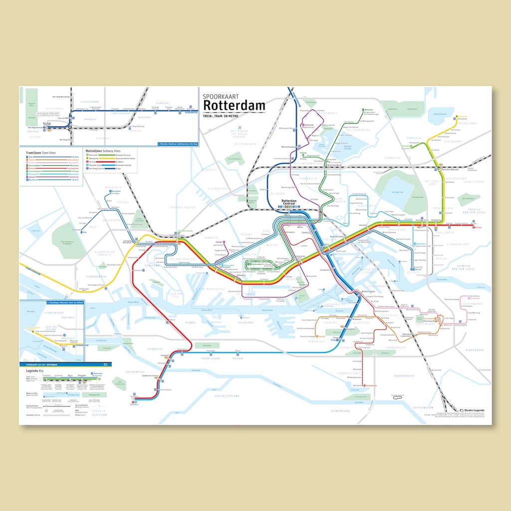
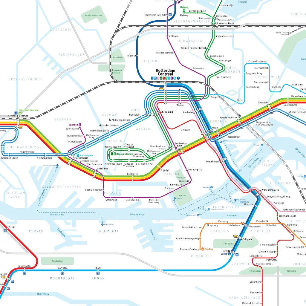
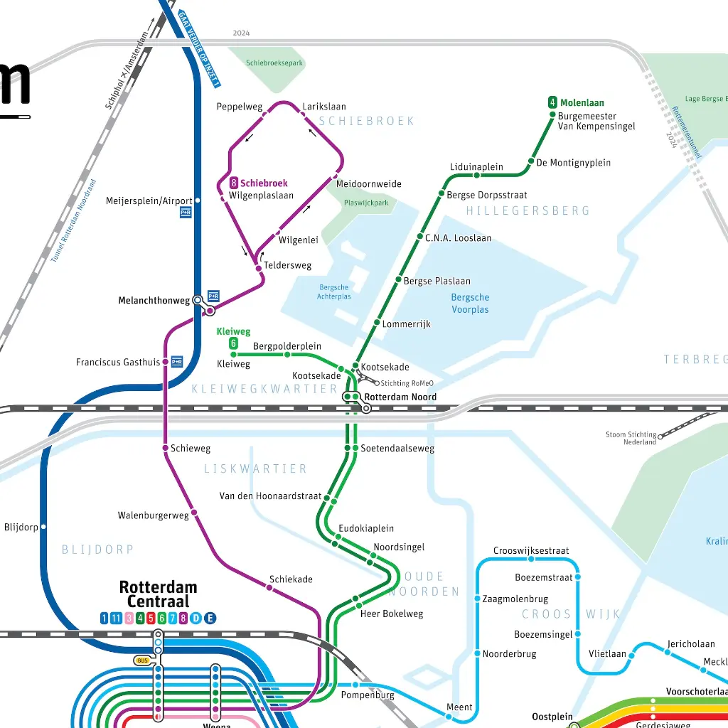
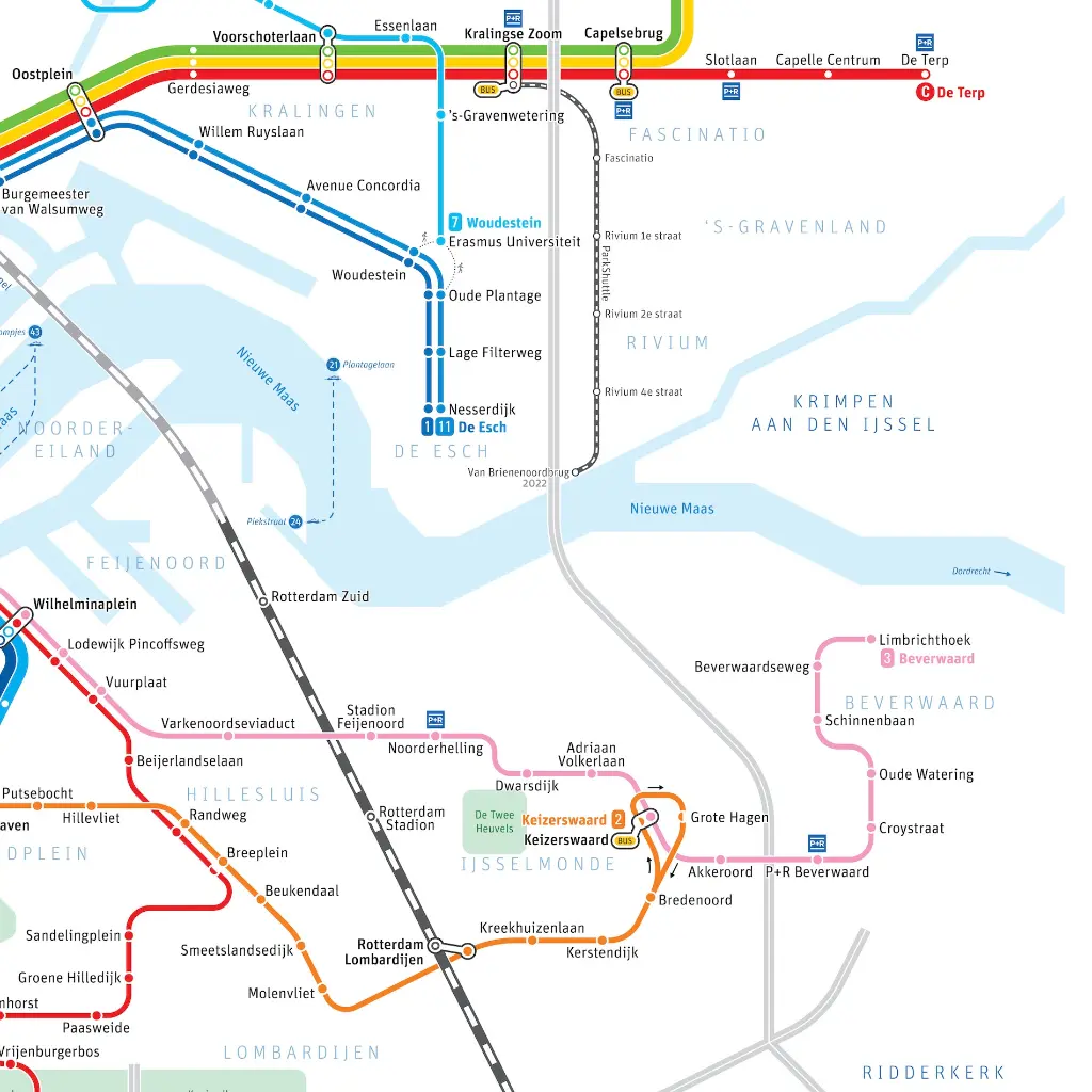
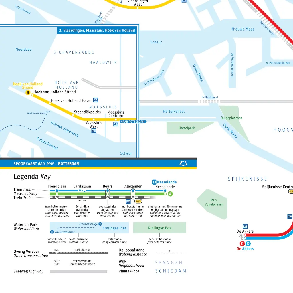
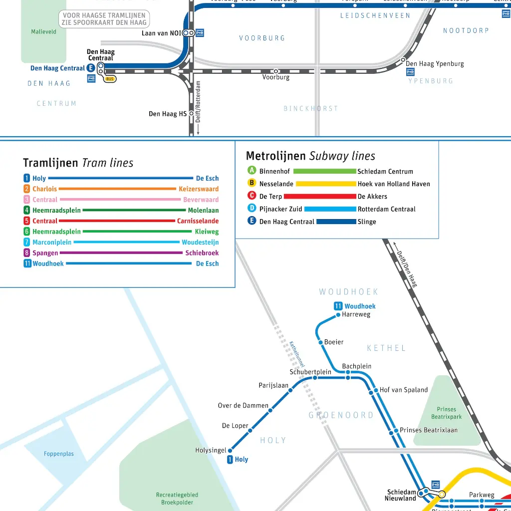
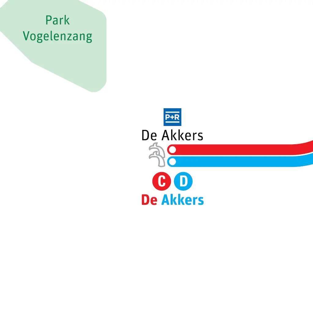
The tram, metro and train map of Rotterdam. In short: The Rail Map Rotterdam. A schematic map with recognizable bodies of water, parks, neighborhoods, highways and of course the most important modes of transportation.
This map is part of a series of rail maps of Dutch cities. It also includes some museum lines such as the Maasoever Spoorweg, Stoom Stichting Nederland and Stichting RoMeO, along with the ParkShuttle.
Current version is that of July 2026.
24.79 €
24.79 €
(Tax included)
-
Language
-
Printed
-
Printing method
-
Country
-
Continent
-
Brand