
Dutch Lighthouse Map
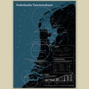
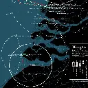
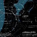
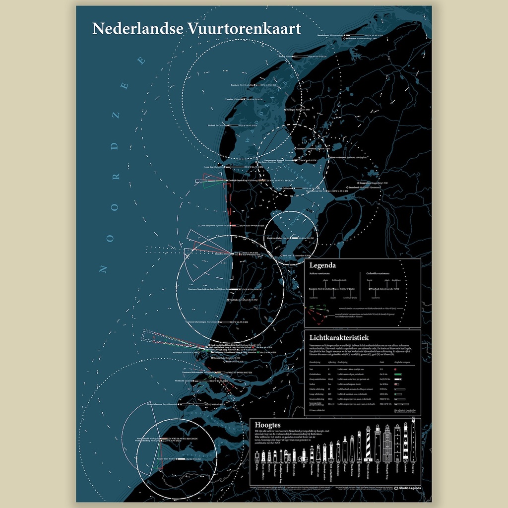
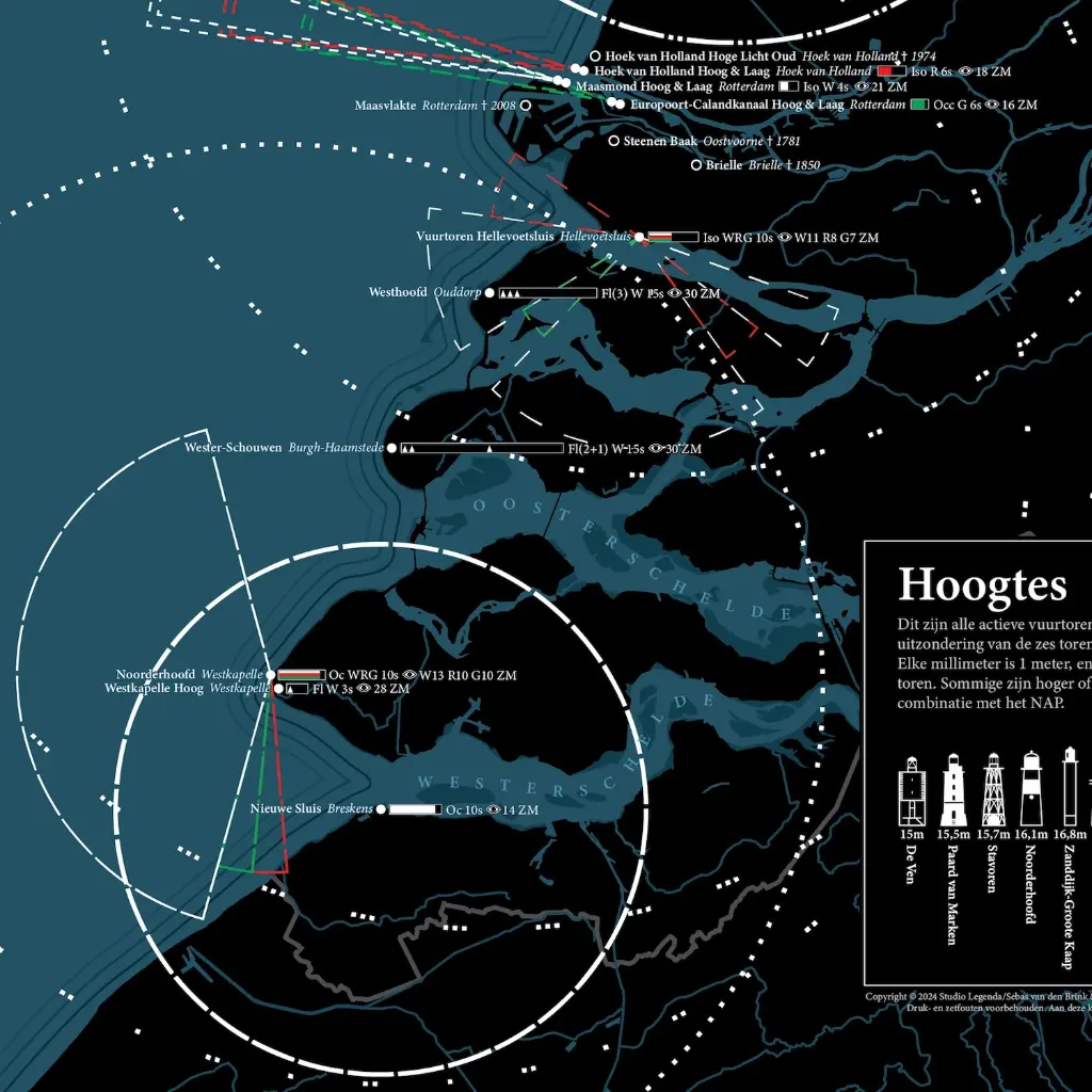
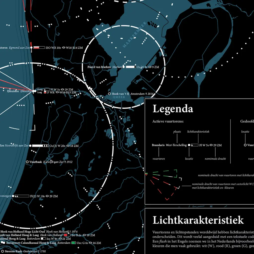
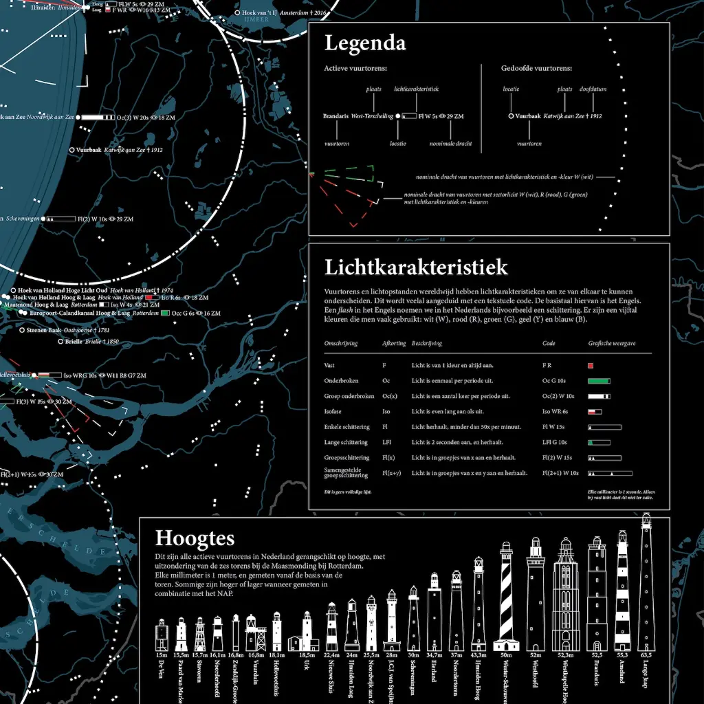
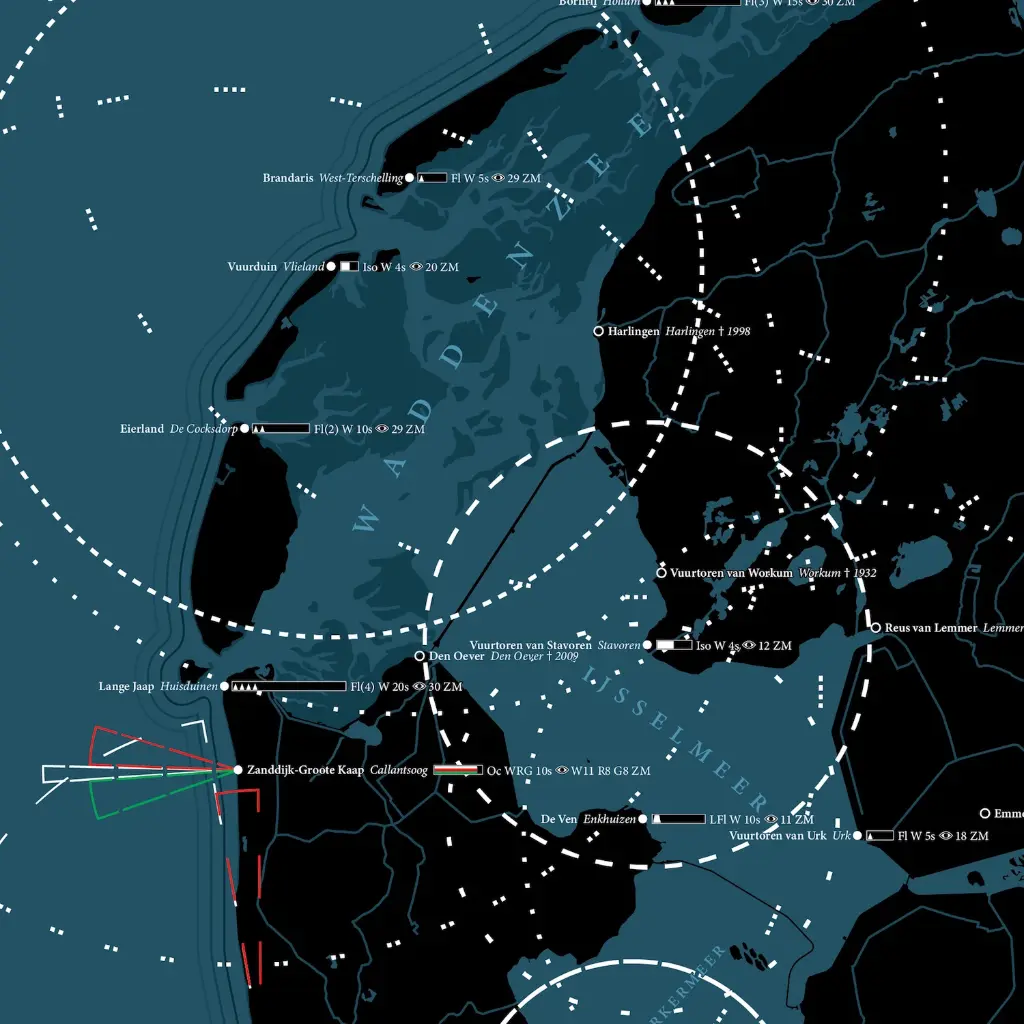
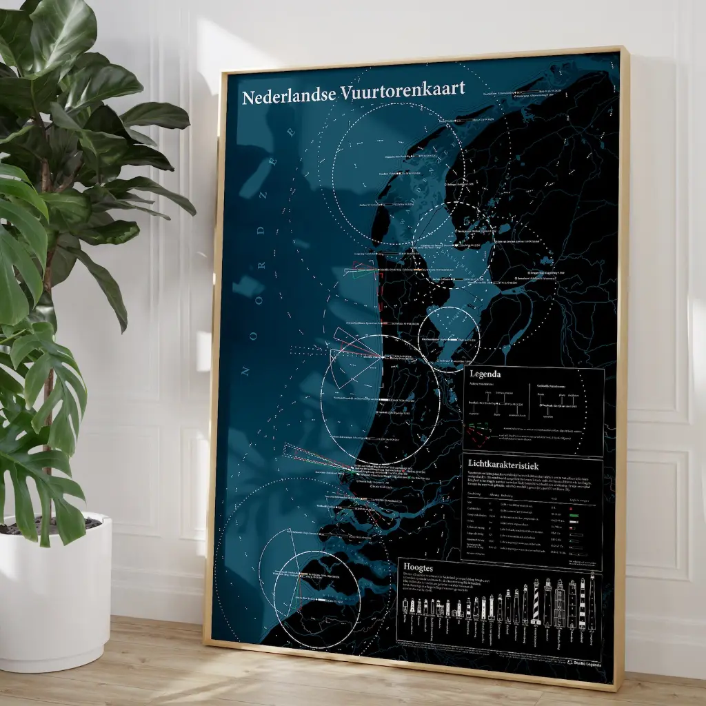
This is the Dutch Lighthouse Map. A beautiful dark map showing the major Dutch lighthouses and their light characteristics. Shown (to scale) are how far their lights carry. The sector lights, too, are displayed.
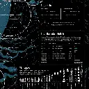
This map is not meant for nautical use, but a beautiful piece of art for on a wall. It also features extinguished lighthouses and their shutdown years. Included are a key and a partial list of light characteristics.
It features all lighthouses as defined by the Dutch Lighthouse Association.
It is 50x70cm (B2) or 19.7x27.6 inches. It is printed on 250 grams coated paper, for a slight shine to it.
20.66 €
20.66 €
(Tax included)
-
Printed
-
Printing method
-
Language
-
Country
-
Continent
-
Brand